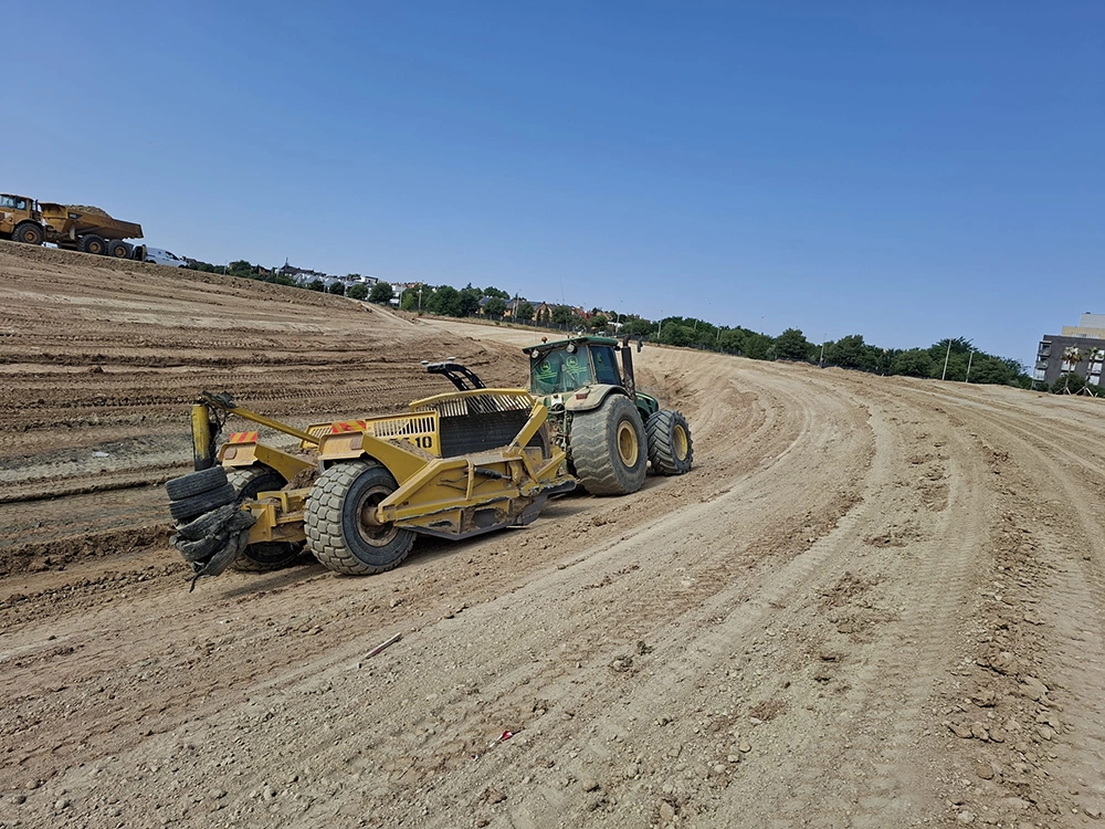
This advanced leveling solution combines surveying, design, and precision execution to help professionals achieve accurate land leveling and optimized field management.
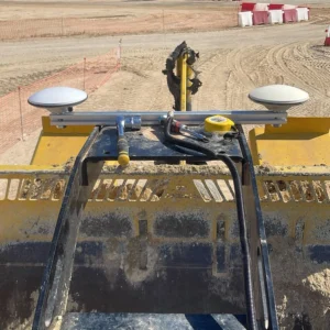
Designed for modern agriculture and land development projects, the system integrates powerful positioning capabilities based on the Global Navigation Satellite System and precise guidance supported by Real-Time Kinematic positioning, enabling high-accuracy surface control during leveling operations.
📊 Complete 2D and 3D Leveling System
Supports both 2D and 3D leveling operations, with the flexibility of single or dual control configurations to adapt to different project requirements.
📐 Integrated Survey and Slope Calculation
Built-in surveying tools automatically calculate slopes and surface profiles, helping operators achieve precise and consistent land grading.
📂 3D Design Software with DXF Import
Compatible with DXF design files, allowing users to import project plans directly and execute leveling operations according to digital terrain models.
🌱 Optimized Water and Soil Management
Accurate leveling helps improve irrigation efficiency, drainage performance, and soil utilization, supporting more productive and sustainable land use.
🚜 Efficient Field Execution
By combining planning, topographic data, and automated guidance, the system helps operators complete leveling tasks faster while reducing manual adjustments.
From initial topographic planning to final surface execution, this leveling system enables professionals to manage land resources more efficiently and improve agricultural productivity through precise terrain shaping.
👉 Contact us to learn more or request technical information.
MagriDev provides precision GNSS, smart farming, and machine guidance solutions for agriculture and construction professionals —helping businesses improve productivity, reduce costs, and make data-driven decisions.
Don’t miss our future updates! Get Subscribed Today!
©2026. MagriDev. All Rights Reserved.