Key Advantages
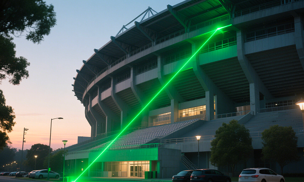
📷 Integrated Camera and Laser Technology
Capture measurements directly from visual targets, allowing professionals to collect data even in locations that are difficult or unsafe to access.
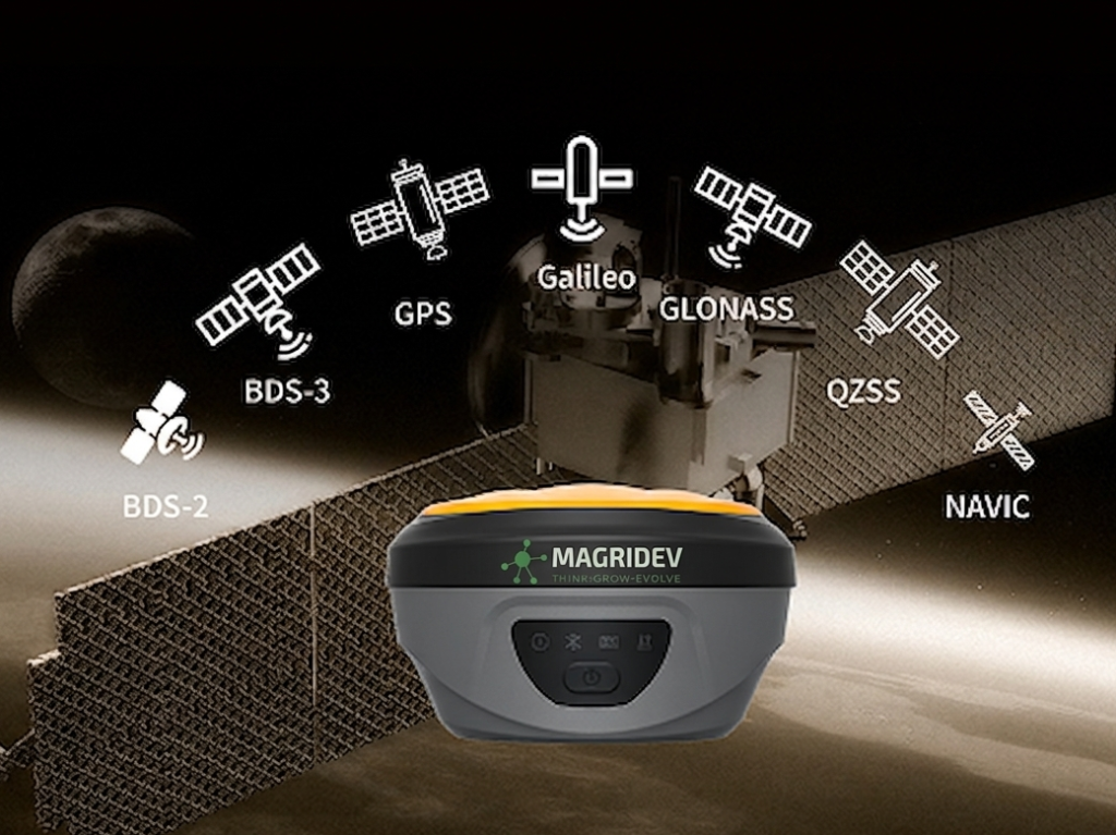
📍 High-Precision GNSS Positioning
Powered by advanced Global Navigation Satellite System, ensuring accurate geospatial data collection for professional applications.
⚡ Faster Field Data Collection
The combination of visual measurement and GNSS positioning helps reduce field time and increase productivity during surveying tasks.
🏗️ Designed for Modern Surveying Workflows
Ideal for applications such as land surveying, infrastructure inspection, engineering projects, and digital mapping.
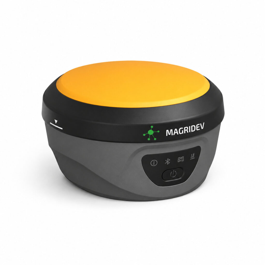
A New Approach to Digital Surveying
The Magridev R90 GNSS Receiver is built for professionals who need speed, accuracy, and smarter data collection tools. By integrating imaging and positioning technologies, it supports high-efficiency spatial data capture for the digital era of surveying and engineering.
 Learn more about the R90 GNSS Receiver or request a demonstration today.